Wie die Route aufgebaut ist
Der Lykische Weg erstreckt sich über rund 540 Kilometer von Ovacık bei Fethiye und Ölüdeniz im Westen bis Geyikbayırı bei Antalya im Osten und folgt dabei der Küstenlinie des antiken Lykien mit häufigen Anstiegen ins Landesinnere und zurück zum Meer. Kate Clows ursprünglicher Reiseführer – nach wie vor die Standardreferenz – unterteilt den Weg in etwa 24 nummerierte Etappen, die jeweils an einem Dorf, einer antiken Stätte oder einer Straßenkreuzung enden, wo sich Wanderer versorgen oder übernachten können. In der Praxis geht kaum jemand die Etappen exakt in der nummerierten Reihenfolge – die meisten denken eher in größeren regionalen Abschnitten.
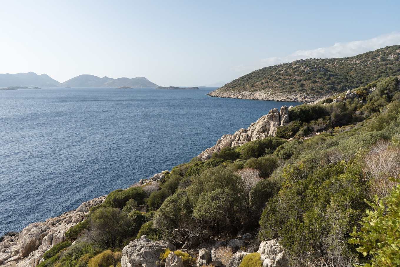
Der Weg in fünf Regionen
1. Ölüdeniz bis Kabak (Westen, ~25–30 km, 2–3 Tage). Der bekannteste und meistbegangene Abschnitt, beginnend bei Ovacık oberhalb der Blauen Lagune, hinauf über die Landzunge ins Schmetterlingstal und weiter auf dramatischen Klippenpfaden bis zur Bucht von Kabak. Felsig, stellenweise steil, durchgehend spektakuläre Meerblicke.
2. Kabak bis Patara (über Alinca und Sidyma, ~60–70 km, 3–4 Tage). Der Weg führt ins Landesinnere durch die Bergdörfer Alinca und die Weiler nahe Faralya, dann durch Olivenhaine und Pinienwald hinunter zur zerstörten lykischen Stadt Sidyma, bevor er den langen Sandstrand und die ausgedehnten Ruinen von Patara erreicht.
3. Patara bis Kalkan und Kaş (~35–45 km, 2–3 Tage). Ein sanfterer Küstenabschnitt vorbei am Yachthafen von Kalkan bis Kaş, einer entspannten Stadt mit guter Versorgung, Tauchbasen und Weiterreisemöglichkeiten – ein üblicher Start- oder Endpunkt für eine kürzere Reise.
4. Kaş bis Demre und Finike (~70–80 km, 4–5 Tage). Einer der wilderen, abgelegeneren Abschnitte, der an Klippen und Buchten entlang Demre (das antike Myra mit seinen Felsgräbern und der Nikolauskirche) in Richtung Finike führt.
5. Finike bis Olympos und Antalya (~90–100 km, 5–7 Tage). Das östliche Finale: bewaldete Anstiege um Adrasan, die antike Stadt und der Strand von Olympos, die ewigen Flammen der Chimära (Yanartaş) oberhalb von Çıralı und schließlich ein langer letzter Anstieg durch die Ausläufer des Tahtalı bis zum Ziel bei Geyikbayırı, Antalya.
Etappentabelle im Überblick
| Abschnitt | Ungefähre Distanz | Typische Tage | Highlights |
|---|---|---|---|
| Ovacık → Kabak | 25–30 km | 2–3 | Schmetterlingstal, Klippen von Faralya |
| Kabak → Patara | 60–70 km | 3–4 | Ruinen von Sidyma, Strand von Patara |
| Patara → Kaş | 35–45 km | 2–3 | Kalkan, Küste um Kaş |
| Kaş → Finike | 70–80 km | 4–5 | Demre/Myra, abgelegene Klippen |
| Finike → Antalya | 90–100 km | 5–7 | Olympos, Chimära, Tahtalı |
Die Distanzen variieren je nach Reiseführer-Ausgabe und Umlegungen wegen Erosion oder Bebauung, daher immer mit einem aktuellen GPS-Track abgleichen – siehe unseren Karten-Guide zur Orientierung und für Koordinaten.
Höhenmeter und Geländehinweise
Der Lykische Weg ist nicht flach. Die tägliche Höhenveränderung übersteigt regelmäßig 500–800 Meter, da der Pfad von Meereshöhe in pinienbewaldete Hügel und wieder hinunter zur nächsten Bucht führt. Die höchsten Punkte liegen bei etwa 800–1.000 Metern, mit einem markanten Anstieg beim Tahtalı (Berg Olympos) auf den östlichen Etappen. Der Untergrund reicht von weichem Waldweg bis losem Kalksteinschotter, weshalb Knöchelstütze und Trekkingstöcke sich lohnen – der vollständige Ausrüstungsleitfaden findet sich unter Packliste und Vorbereitung.
Einen Abschnitt wählen, wenn kein ganzer Monat zur Verfügung steht
Die meisten Reisenden wandern nicht die vollen 540 km. Wenn du hast:
- Ein Wochenende: Ölüdeniz bis Kabak deckt in 2–3 Tagen die fotogenste Landschaft des Wegs ab.
- Eine Woche: Fethiye bis Patara oder Kaş bis Olympos vermitteln beide einen echten Eindruck von der Vielfalt des Wegs – Ruinen, Strände, Wald – ohne monatelanges Engagement.
- Zwei bis drei Wochen: Fethiye bis Antalya durchgehend, nur die unattraktivsten straßennahen Abschnitte auslassend.
Für alle Details, wann welcher Abschnitt am besten geeignet ist, lies beste Reisezeit und Schwierigkeitsgrad, und für die Flughafenwahl je nach Startpunkt siehe Anreise.
Markierung vor Ort
Jede Etappe ist mit den rot-weißen Farbmarkierungen gekennzeichnet, die Kate Clow 1999 einführte, angebracht auf Felsen, Bäumen und Pfosten an Kreuzungen. Die Markierung ist grundsätzlich zuverlässig, kann in ruhigeren Abschnitten aber verblassen oder von Bewuchs verdeckt werden, besonders in den Inlandstrecken zwischen Kabak und Patara – einen heruntergeladenen GPS-Track neben den Farbmarkierungen mitzuführen, ist heute Standard, kein Luxus.
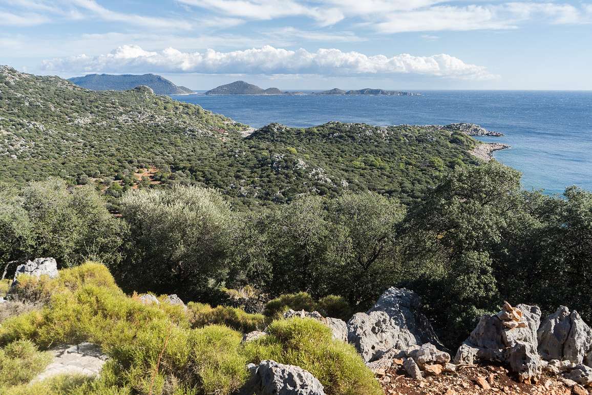
Deine Route planen
Baue unabhängig vom gewählten Abschnitt etwa alle vier bis fünf Wandertage einen Ruhetag ein, besonders bei Sommerhitze, und bestätige die Unterkunft in kleineren Dörfern rechtzeitig, wo Pensionen begrenzt sind – siehe unseren Unterkunftsleitfaden für Buchungstipps oder vergleiche geführt oder unabhängig, falls du die Logistik nicht selbst managen möchtest.
Ruhetage und Tempo
Selbst fitte Wanderer profitieren davon, den Weg konservativ anzugehen, statt die Tagesdistanz auszureizen. Ein tragfähiger Rhythmus für die meisten Menschen sind vier bis fünf Wandertage, gefolgt von einem Ruhe- oder Kurztag, idealerweise abgestimmt auf eine größere Stadt wie Kalkan, Kaş oder Fethiye, wo es mehr zu sehen gibt und bessere Essensmöglichkeiten als in den kleineren Dorfstationen. Besonders die östlichen Etappen zu überstürzen – wo sich Höhenmeter rund um den Tahtalı nach Wochen kumulativen Wanderns aufsummieren – ist eine häufige Ursache für Verletzungen oder Erschöpfung bei Durchquerungswanderern, die die volle Strecke in unter drei Wochen absolvieren wollen.
Umleitungen und aktuelle Bedingungen prüfen
Der Lykische Weg ist kein statischer, unveränderlicher Pfad. Küstenbebauung, gelegentliche Erdrutsche und Landzugangsstreitigkeiten führen dazu, dass Abschnitte regelmäßig umgeleitet werden, und die Distanzen in einer bestimmten Reiseführer-Ausgabe oder GPX-Datei können sich mit der Zeit leicht verschieben. Vor einer eng getakteten Route lohnt sich ein Blick in einen aktuellen Erfahrungsbericht oder ein Wander-Forum, um bekannte Umleitungen auf den geplanten Etappen zu prüfen – besonders rund um Kabak und den Abschnitt Kaş–Demre, wo Umleitungen historisch häufiger vorkamen als anderswo auf dem Weg.