Where exactly is Uzungöl?
Uzungöl sits at approximately 40.6167° N, 40.2833° E, in the Çaykara district of Trabzon province, in Turkey's Eastern Black Sea region. Unlike the coastal cities of the Black Sea, Uzungöl lies inland and uphill, tucked into a steep valley of the Pontic (Kaçkar) Mountains at roughly 1,090–1,100 meters above sea level — high enough to give it a noticeably cooler, mistier climate than the coast just 99 km away.
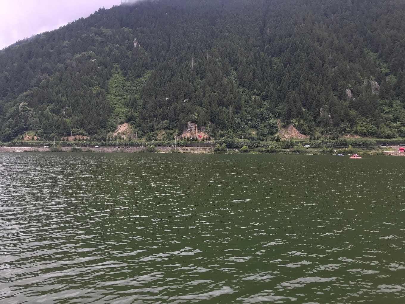
Orientation: how Uzungöl sits in the valley
The lake itself is elongated — true to its name, which means "Long Lake" — running roughly 1.1 km along the valley floor. It was formed when a landslide dammed the Haldizen stream (also known locally as the Değirmendere), and today the village wraps around the northern and western shore, with the lakeside mosque positioned at the water's edge on the side closest to the main road. Steep, forested slopes rise on both sides of the valley, which is part of why mist collects so readily over the water on cool mornings.
Distances from key reference points
| From | Distance | Approx. travel time |
|---|---|---|
| Trabzon city center | ~99 km | 1.5–2 hours by road |
| Trabzon Airport (TZX) | ~105 km | 1.75–2.25 hours by road |
| Sümela Monastery | ~55–60 km | 1–1.5 hours by road |
| Of (coastal town en route) | ~40 km | 45–60 minutes |
| Çaykara (district center) | ~10 km | 15–20 minutes |
How to use this for planning
Because Uzungöl is inland and at altitude, don't judge travel times purely by straight-line distance — the road from the coast climbs steadily and winds through river valleys, so the 99 km from Trabzon takes meaningfully longer than a flat highway distance of the same length would. This is covered in full detail, including route options, on our how to get to Uzungöl page.
If you're mapping out a broader Eastern Black Sea trip, use Uzungöl's position relative to Sümela Monastery and Trabzon as your anchor points — most itineraries move between these three in a loop rather than a straight line, since Sümela sits roughly between the city and the lake. Full routing and sequencing suggestions are covered in our nearby attractions guide.
Finding Uzungöl on a map app
When searching for Uzungöl in a maps app, search specifically for "Uzungöl" or "Uzungöl Tabiat Parkı" (Uzungöl Nature Park) rather than just "Çaykara," since the district center itself is a separate town a short drive from the lake. The lakeside mosque, often labeled as a point of interest in its own right, is a reliable landmark to navigate toward if you're driving in — it sits at the heart of the small commercial strip that lines the western shore. Parking areas are clustered near this same stretch, and from any of them the boardwalk and lake are within a few minutes' walk.
Mobile signal in the valley is generally reliable close to the village but can weaken on the higher yayla roads toward Şekersu and Demirkapı, so it's worth downloading an offline map of the region before heading up into the pastures.
Why the terrain matters for your itinerary
Uzungöl's position — inland, elevated, and boxed in by steep valley walls — shapes almost every practical decision about visiting. It's why the drive from the coast takes longer than the raw kilometer count suggests, why temperatures stay noticeably cooler than Trabzon city even in August, and why mist forms so reliably over the lake on still mornings: cool air draining down the forested slopes meets the relatively warmer lake surface and condenses overnight. Understanding this basic geography also explains Uzungöl's relationship to its neighbors. Sümela Monastery, at a lower elevation closer to the coast, sits naturally on the route between Trabzon and the lake, which is why the two are so often paired on the same day. The yaylas above Uzungöl, by contrast, sit at even higher altitude than the lake itself, which is why they stay snow-affected later into spring and are only comfortably open from roughly June onward.
For travelers self-driving with a GPS unit or phone, expect the last stretch of road — through Çaykara and up into the Uzungöl valley — to be narrower and slower than the coastal highway, even though it's fully paved. Building in extra buffer time, rather than trusting a raw ETA, avoids the most common planning mistake first-time visitors make.
Quick reference
- Coordinates: 40.6167° N, 40.2833° E
- District: Çaykara, Trabzon province
- Region: Eastern Black Sea, Turkey
- Altitude: ~1,090–1,100 m
- Nearest city: Trabzon (~99 km)
- Nearest airport: Trabzon Airport (TZX)
For general trip planning, see the Uzungöl overview, and for common questions about the lake, check our Uzungöl FAQ.