What the trail actually looks like
Photos rarely do the Lycian Way justice, but they help set expectations for the terrain, light, and landscape you'll encounter across its roughly 540 kilometers. Below is a selection spanning the trail's western beaches to its eastern ancient forests, alongside notes on where each shot was taken and why that stretch stands out.
Ölüdeniz and the western trailhead
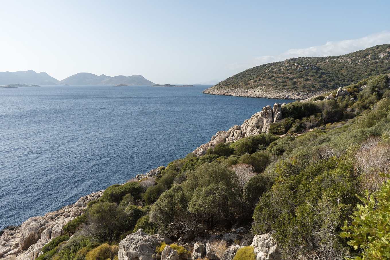
The trail's western end sits just above Ölüdeniz's enclosed lagoon, one of the most recognizable images of the Turkish coast. The contrast between the lagoon's shallow turquoise water and the pine-covered hills behind it is a common first — and last — sight for hikers starting or finishing here. See highlights for what else sits nearby before you set off.
Ancient ruins along the coastal path
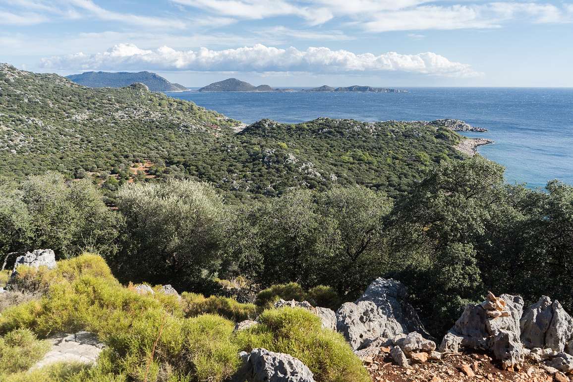
Much of the trail's character comes from how casually it passes ancient sites — a sarcophagus beside the path, a rock-cut tomb on a hillside, a collapsed city wall in an olive grove. This section, near Patara, shows the kind of understated ruin-and-coastline combination that repeats throughout the route's middle stages, detailed further in route and stages.
Spring wildflowers and maquis scrub
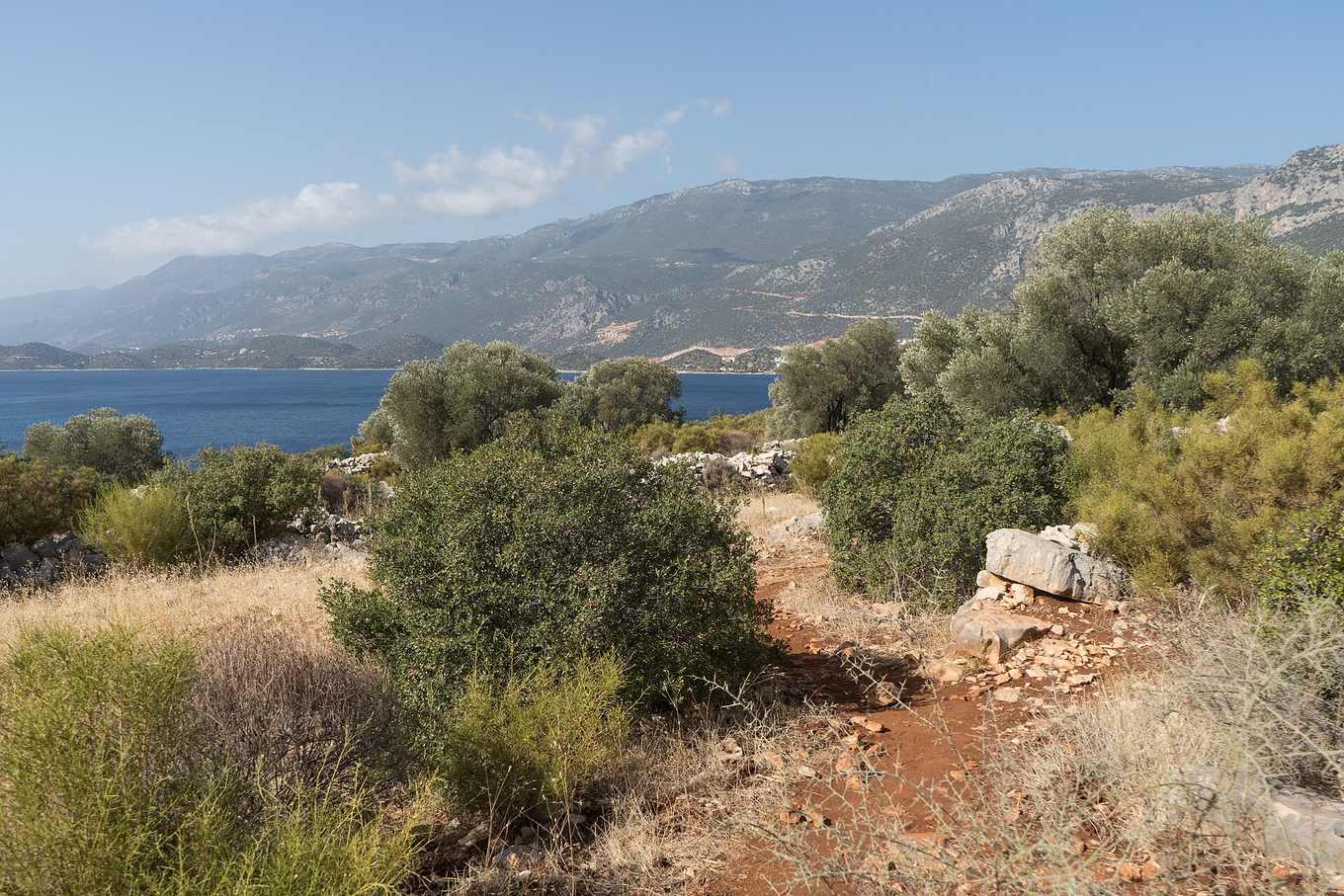
Photographed in April, this stretch shows the trail at its most colorful — low maquis scrub in bloom against the deep blue of the Mediterranean. This is also visually representative of why spring is considered one of the best hiking windows; see best time and difficulty for the full seasonal breakdown.
Coastal views near the western approach
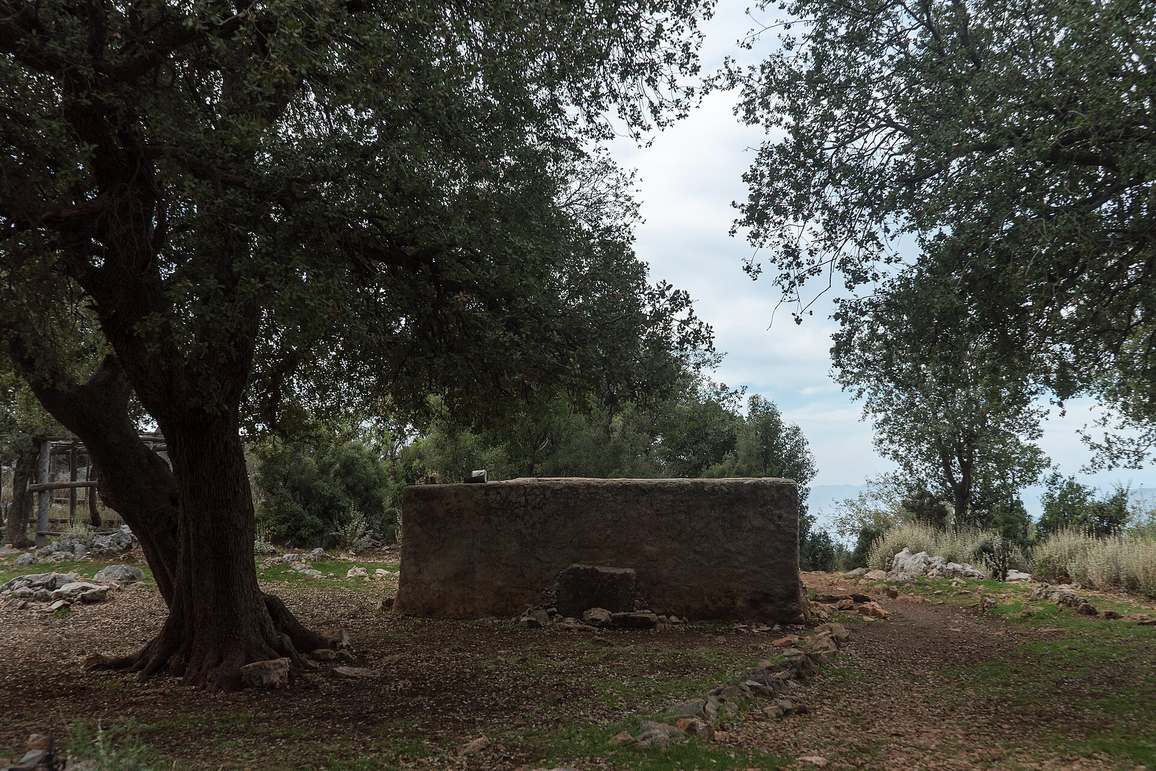
Taken along the approach to the western trailhead, this view captures the trail's characteristic mix of cliff-edge path and open sea view — the kind of scenery that draws so many hikers to the Ölüdeniz–Kabak stretch specifically, as covered in how to get there.
Trail gear in the field
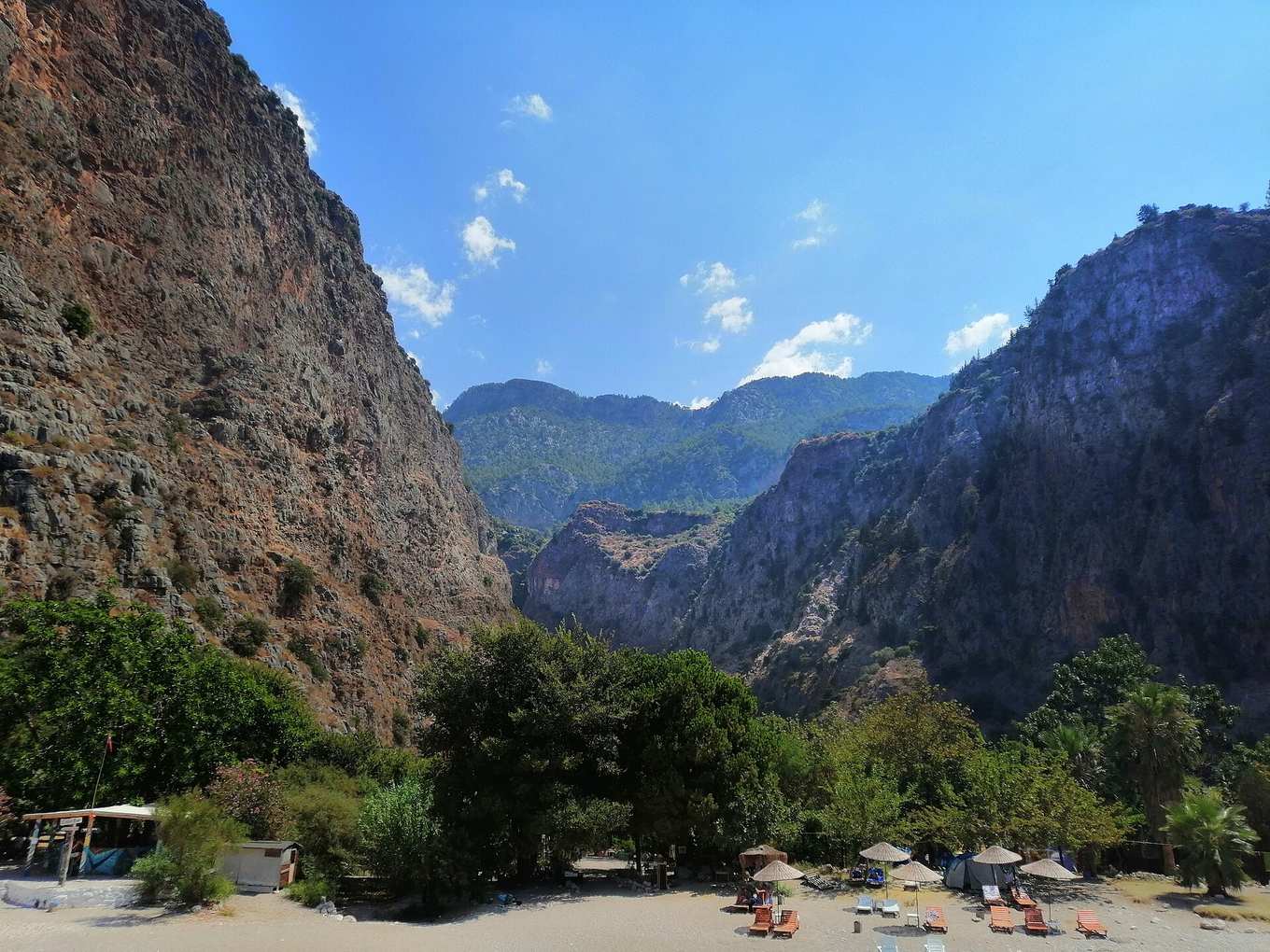
A closer look at the underfoot terrain that shapes so much of the trail's difficulty rating — loose, pale limestone that photographs beautifully but demands careful footing. Full gear recommendations for terrain like this are in packing and preparation.
Village life along the route
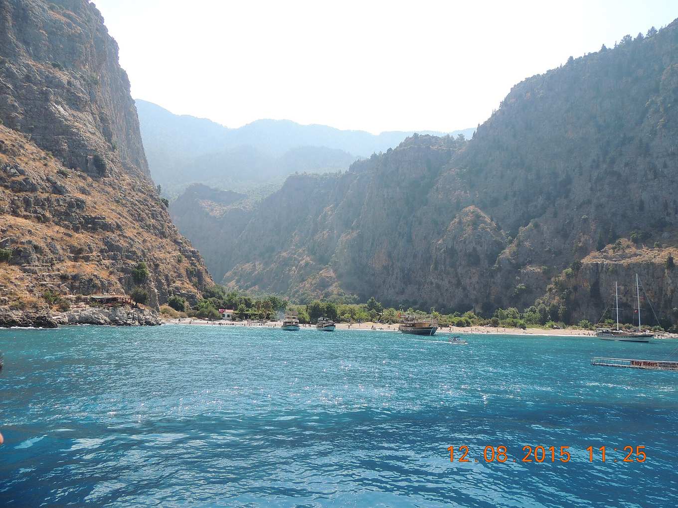
Beyond the landscapes, much of the Lycian Way's character comes from its small villages and family-run pansiyons, often perched on hillsides with sweeping sea views like this one. See accommodation for how to find and book stays like this along your route.
Using these images to plan
Beyond simple inspiration, these photos are useful for setting realistic expectations: the terrain is rockier than a casual coastal walk suggests, the light is intense even outside summer, and the villages are small and quiet rather than resort-scale. If the scenery here appeals, the overview is the best starting point for planning your trip, and the map shows exactly where each of these highlights sits along the 540km route.
A note on seasonal appearance
The trail looks noticeably different by season — green and flower-strewn in spring, dustier and more golden by late summer, and softer-lit in autumn. If a particular look from these photos is what you're after, cross-reference the season it was likely taken with our best time and difficulty guide before booking your dates.
Photography tips for your own trip
If you're carrying a camera or just want better phone shots, a few habits make a noticeable difference on this trail specifically. Shoot in the first two hours after sunrise or the last two before sunset, when the low Mediterranean light softens the harsh midday glare that otherwise washes out coastal shots. Keep a lens cloth or microfiber handy — sea spray and trail dust build up fast on exposed cliff sections. For the Chimaera flames near Olympos, arrive just before full dark so you can still frame the landscape while the flames begin to glow, rather than shooting in total blackness. And if you're photographing ruins at Patara or Myra, an early-morning visit avoids both the harsh light and the midday tour-group crowds.
What these photos don't show
However good a photo gallery is, it can't fully convey a few practical realities worth knowing before you go: the steepness of some descents near Kabak and Alinca, the intensity of the sun even in what looks like mild spring light, and how quiet and undeveloped some of the inland village stretches are compared to the busier coastal towns. For a fuller sense of what a day on the trail actually feels like underfoot, pair this gallery with the terrain and difficulty notes in best time and difficulty and the stage-by-stage detail in route and stages before you commit to a section.
Sharing your own trail photos
Many hikers document their own Lycian Way trip stage by stage, and comparing notes with recent trip reports is one of the best ways to gauge current trail conditions — whether a water source mentioned in an older guidebook is still flowing, or whether a particular viewpoint is still accessible after seasonal erosion. If you're planning to document your hike, the sections covered in this gallery — Ölüdeniz, Patara, and Olympos in particular — are the most rewarding for photography, while the quieter inland stretches between them offer a more understated, but still worthwhile, alternative for photos that feel less crowded.